The Bob Marshall Wilderness Complex consist of the Bob Marshall, Scapegoat, and Great Bear Wilderness areas. As a wilderness area no motorized or mechanical equipment including bicycles are allowed. That is to say travel is by foot, or horseback. The area consist of about 2 million acres of land. It is located in North West Montana and boarders Glacier National Park. Commonly called the “BOB” it is prime Grizzly Bear habitat and has one of the largest population of Grizzly in the lower 48.
We parked our truck at the South Fork of the Teton trail head and shuttled around to Gibson Reservoir. It is only 35 miles or so from Gibson to the Teton parking area via Headquarters Pass. However we added an additional 30 mile loop by going West up Moose Creek Drainage, North along the "Wall" and back East down Rock Creek Drainage. This was a physically demanding trip but I'd do it all over again. Please click on pictures to expand.


Nancy and Gary review active fire locations in the "Bob" at the USFS Ranger station in Choteau Montana

Montana "Water Taxi"...Crossing Gibson Reservoir

Gary at one of the stock gates

Gary...We made it to the Bob Marshall!

Jack
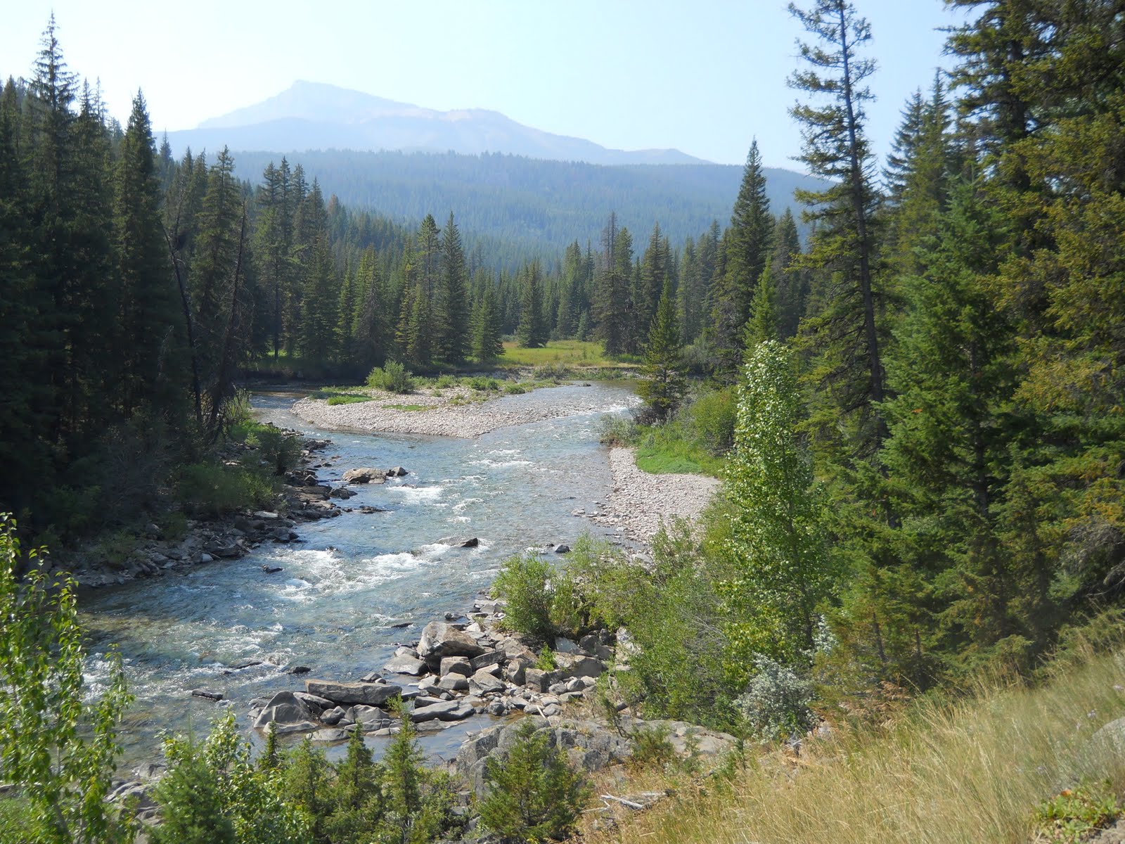
Looking down at the North Fork of the Sun River

Gary crossing Arsenic Creek. One of several creek crossings. (Freezout Creek, Glenn Creek, and other unnamed creeks)

Our camp on the North Fork

Even Jack could catch Trout

Great Fishing

Packing up

The North Fork, looking north

Gary and looking back south along the North Fork

This is a picture of Gary making a location check. We frequently used compass, map and GPS to make sure of our location. Kind of "an ounce prevention..." thing.

Way up the North Fork. Getting ready to turn West and go over the ridge to Moose Creek. We should hit Moose Creek 1.5 miles West of the North Fork.

Lower Moose Creek, West of the North Fork.

Camp on Lower Moose Creek

Pumping Water....the locals said that they usually just drink all running water above the Beaver Dams. We opted to pump....didn't want that "Beaver Fever"

Walking up moose creek drainage

Looking south about half way up the drainage

Looking back down Moose Creek Drainage...This was a demanding walk.

Camping on the upper part of Moose Creek

Jack's food bag

Gary's Food Bag

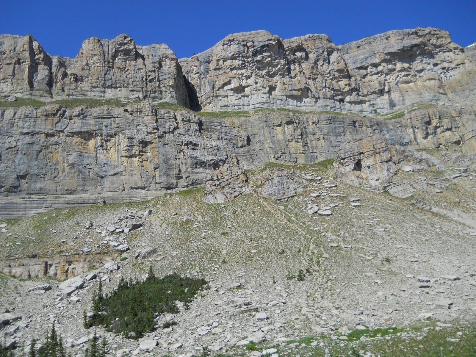
Jack with the wall in background...only about 4 miles !

Wall from just above our Moose Creek Camp

Gary with a good look at the wall

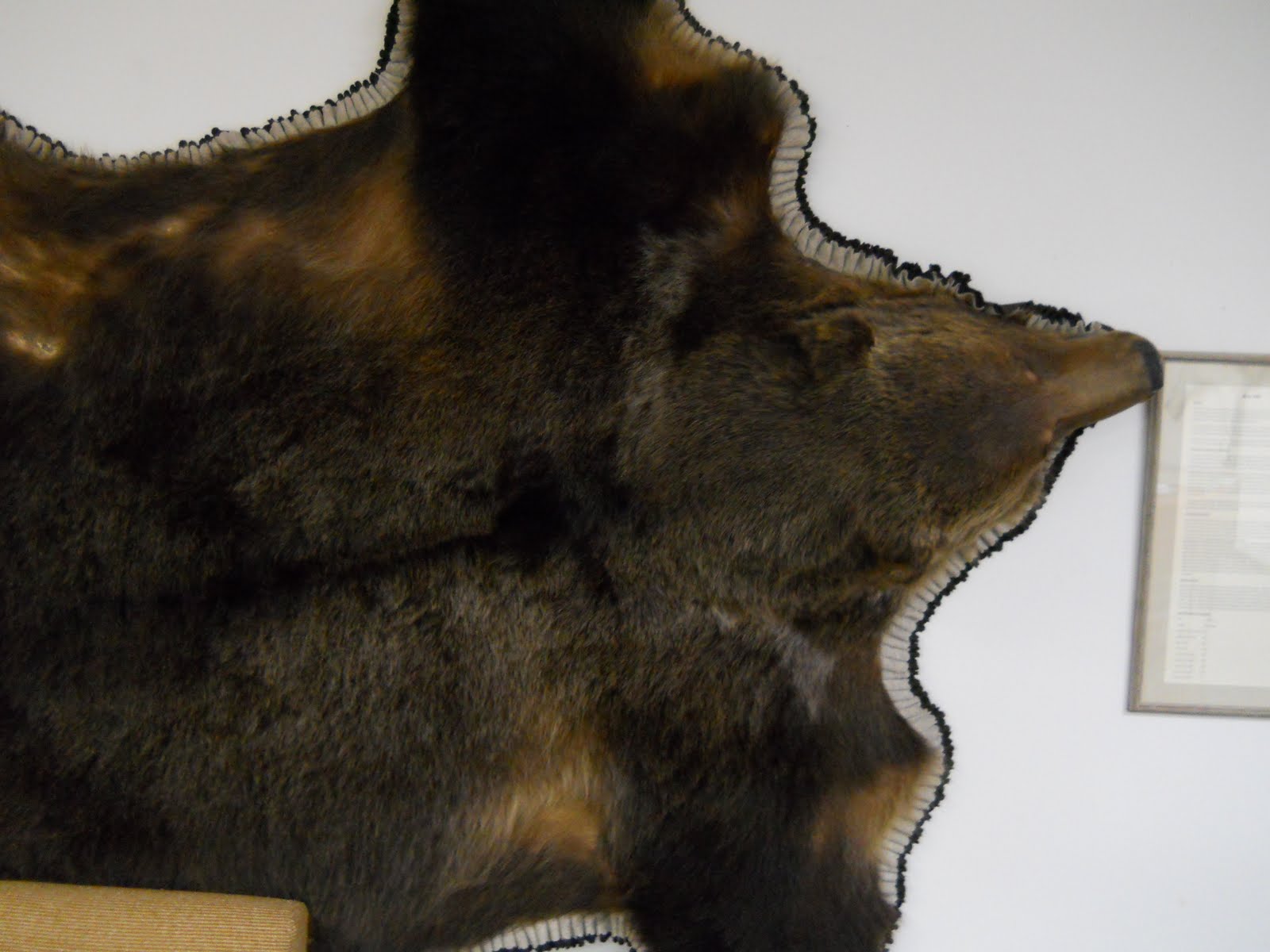
Unsure how I feel about this...but the forrest service didn't call and ask me anyway.

Still 2 miles to go

Looking back to the Southwest

Ok. Now that is a wall


90 degrees and lots of snow on the ground
I thought that I could see some goats in this picture....but I guess I was wrong


That would be Moose Creek Ridge that we took half the morning crossing (far background)

"My Lake"

"My Lake"

Gary and his Deer, My Lake camp

Me at "My Lake" my stomach was making...
lksaet3qnj....sounds!

Nice little buck at My Lake

USFS Cabin at Rock Creek

Water Fall at Rock Creek Cabin


Closed landing field at Gates park

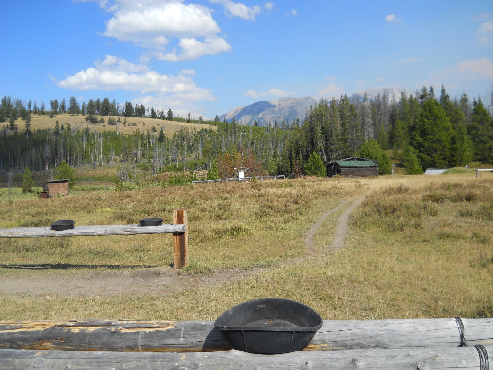
Gates Park and Weather Station

Pack Bridge at Gates Park over The North Fork of the Sun River

Lunch

Lower Part of trail going up Headquarters Creek.

About 100 yards to go on our last hard pull

Headquarters Pass just ahead. The wind was at least 40 mph.

Looking North of East

Gary at the top of Headquarters Pass

Multiple long switchbacks going down the East side of Headquarters

Waterfalls about half way down the East Side of Headquarters Creek Pass